Status:
Application being drafted.
We are asking the Keweenaw County Road Commission to abandon Golf Course Road and turn it over to the Keweenaw Mountain Lodge as a private drive. The road leads only to the Lodge, so we are ready to take on its care, its repairs and its winter plowing.
Background
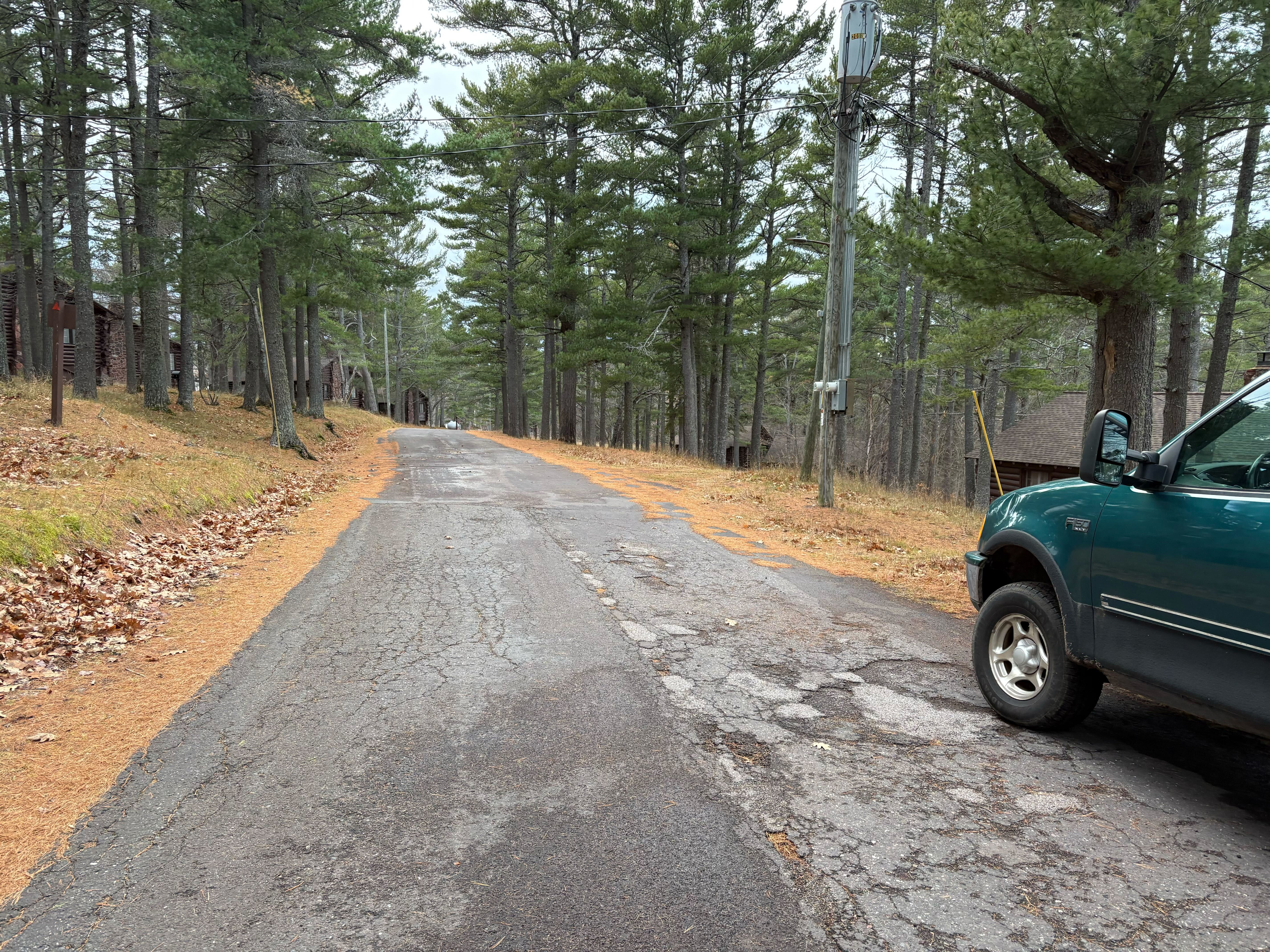
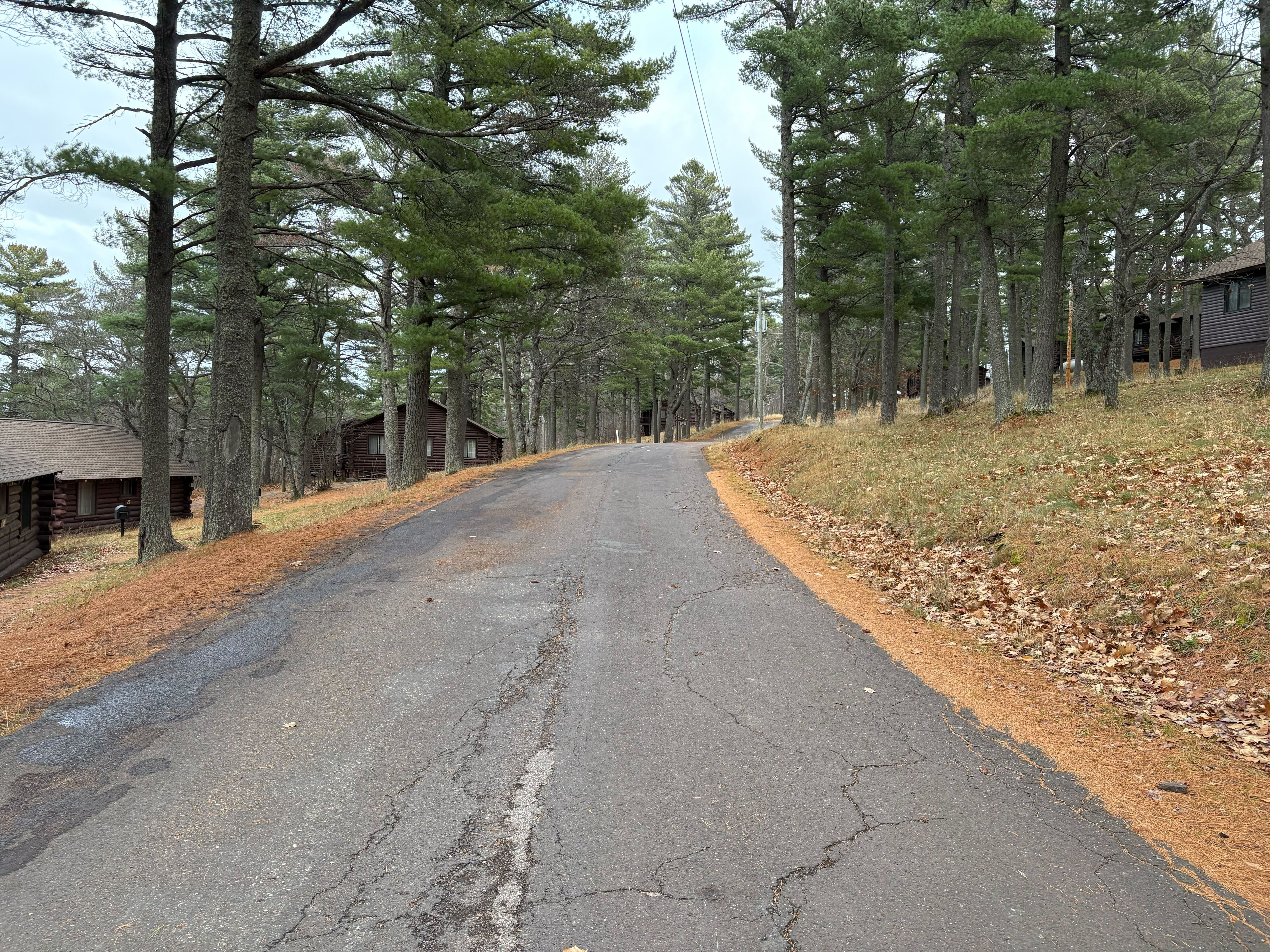
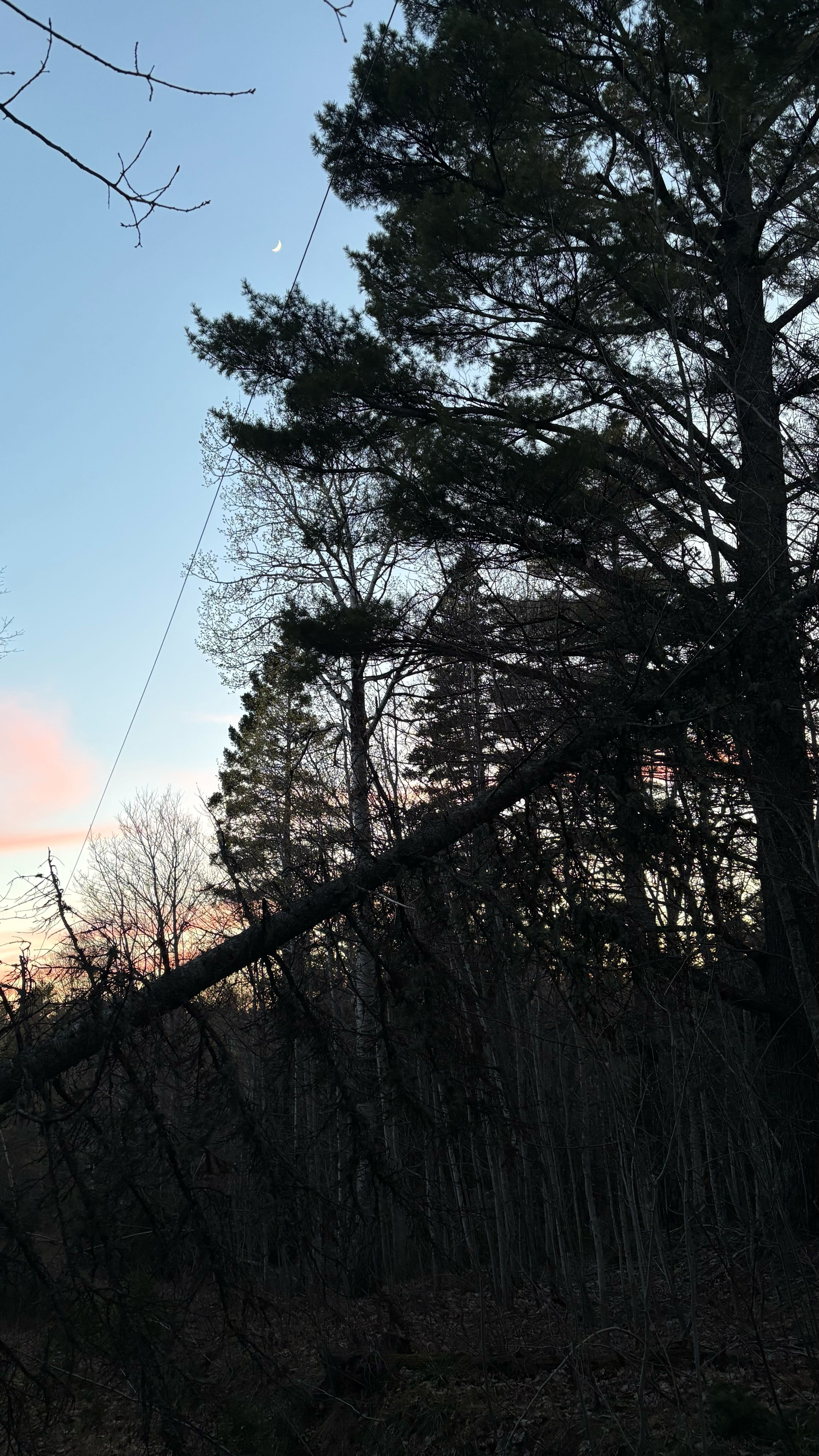
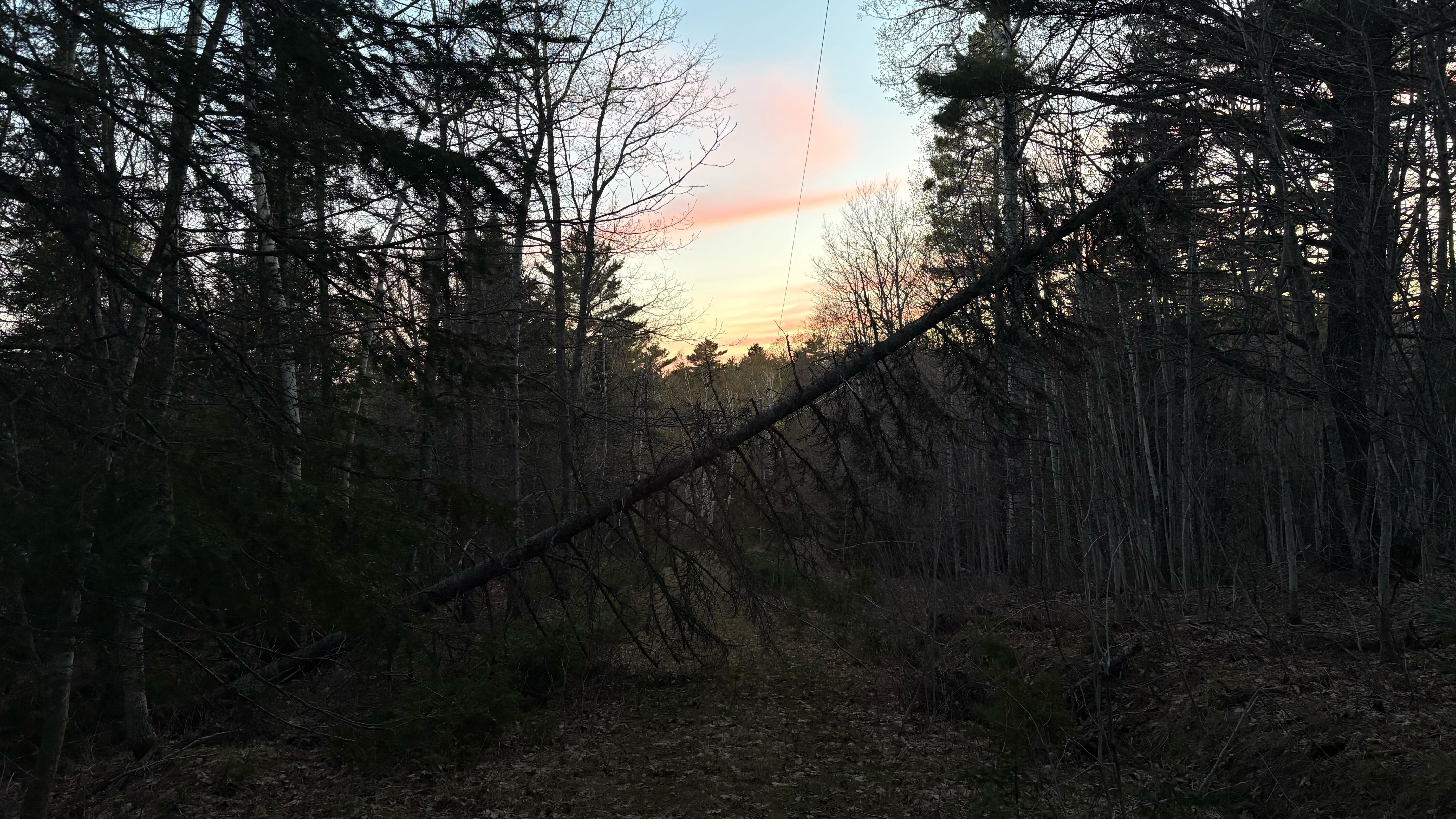
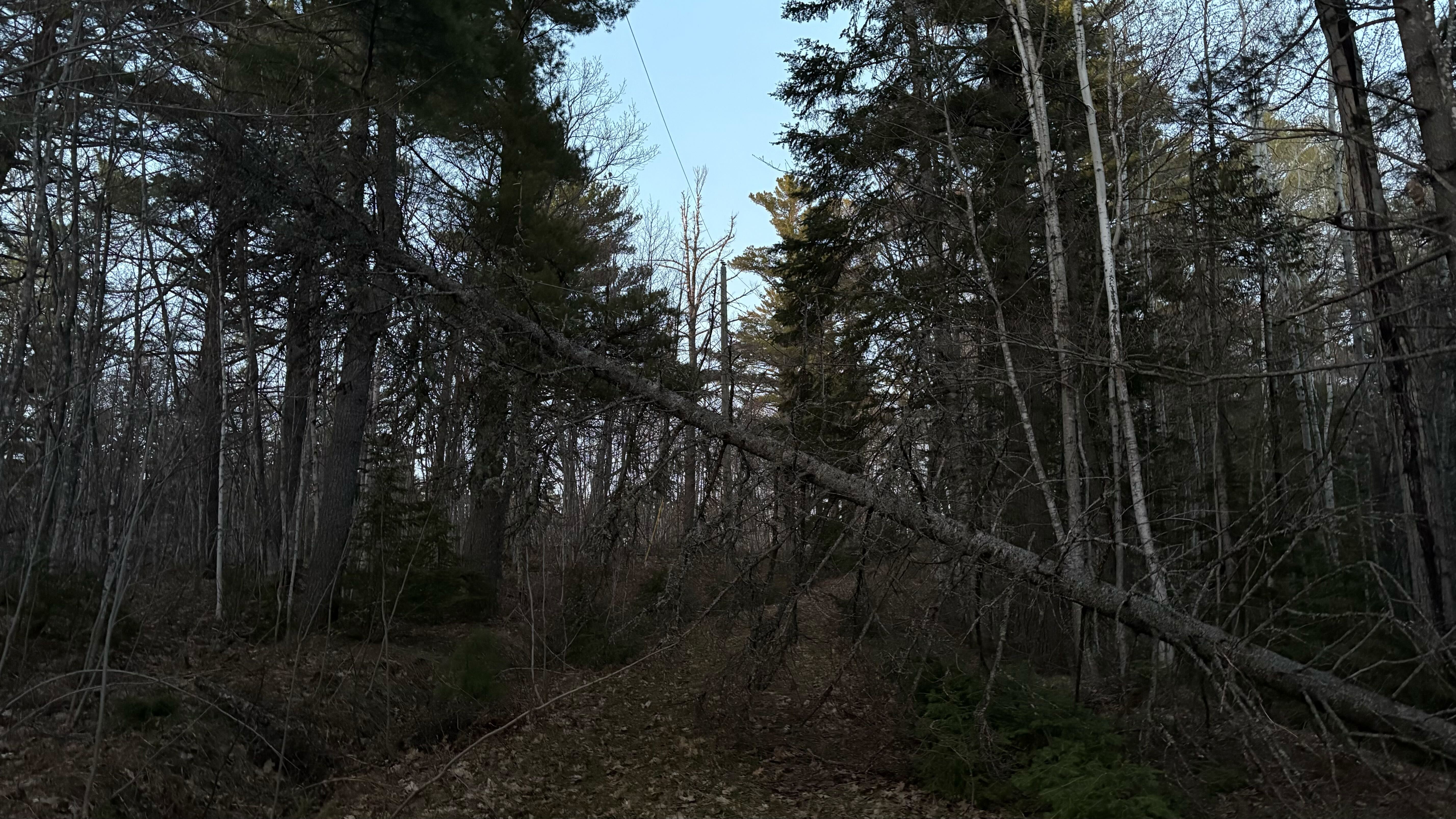
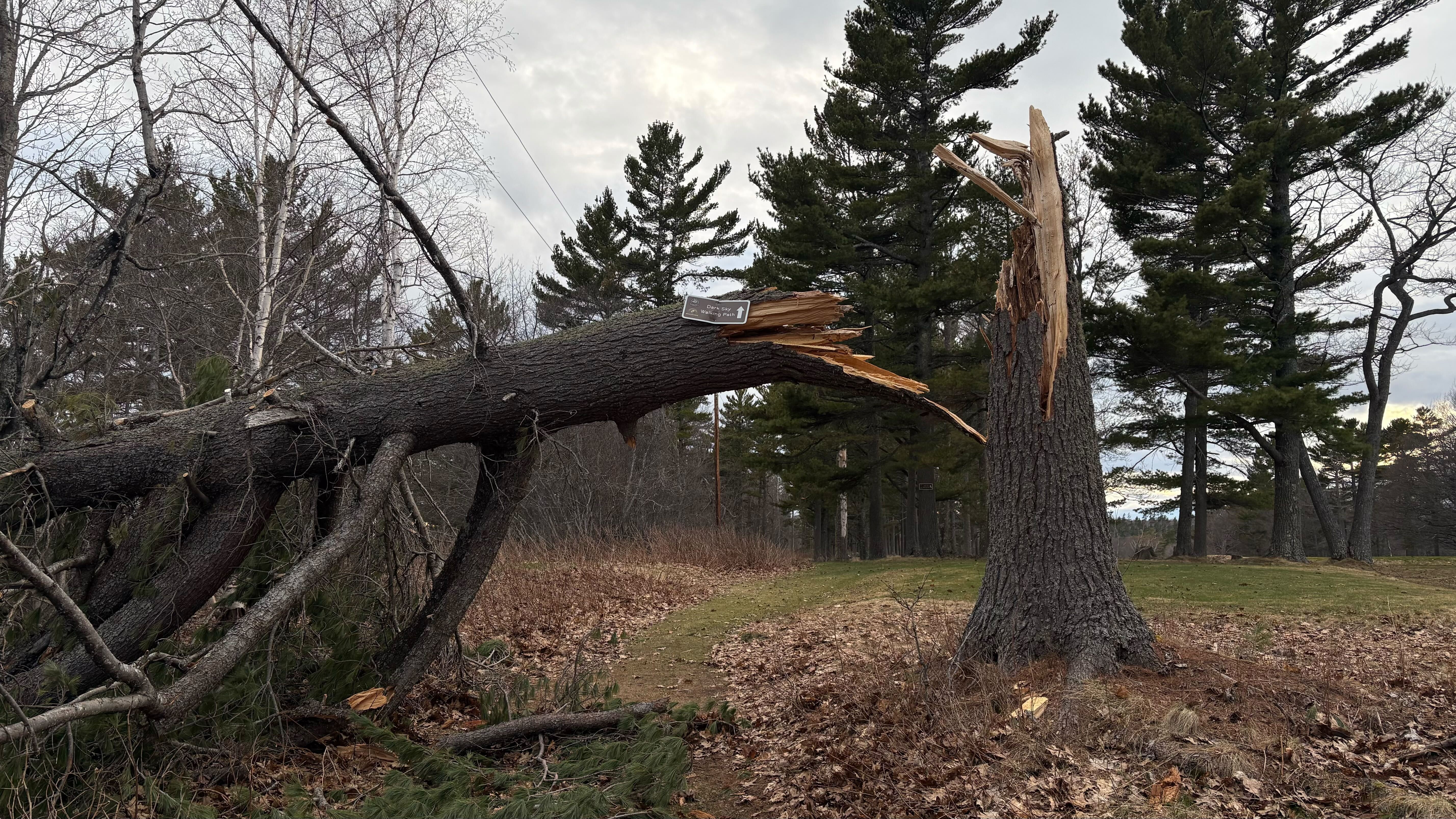
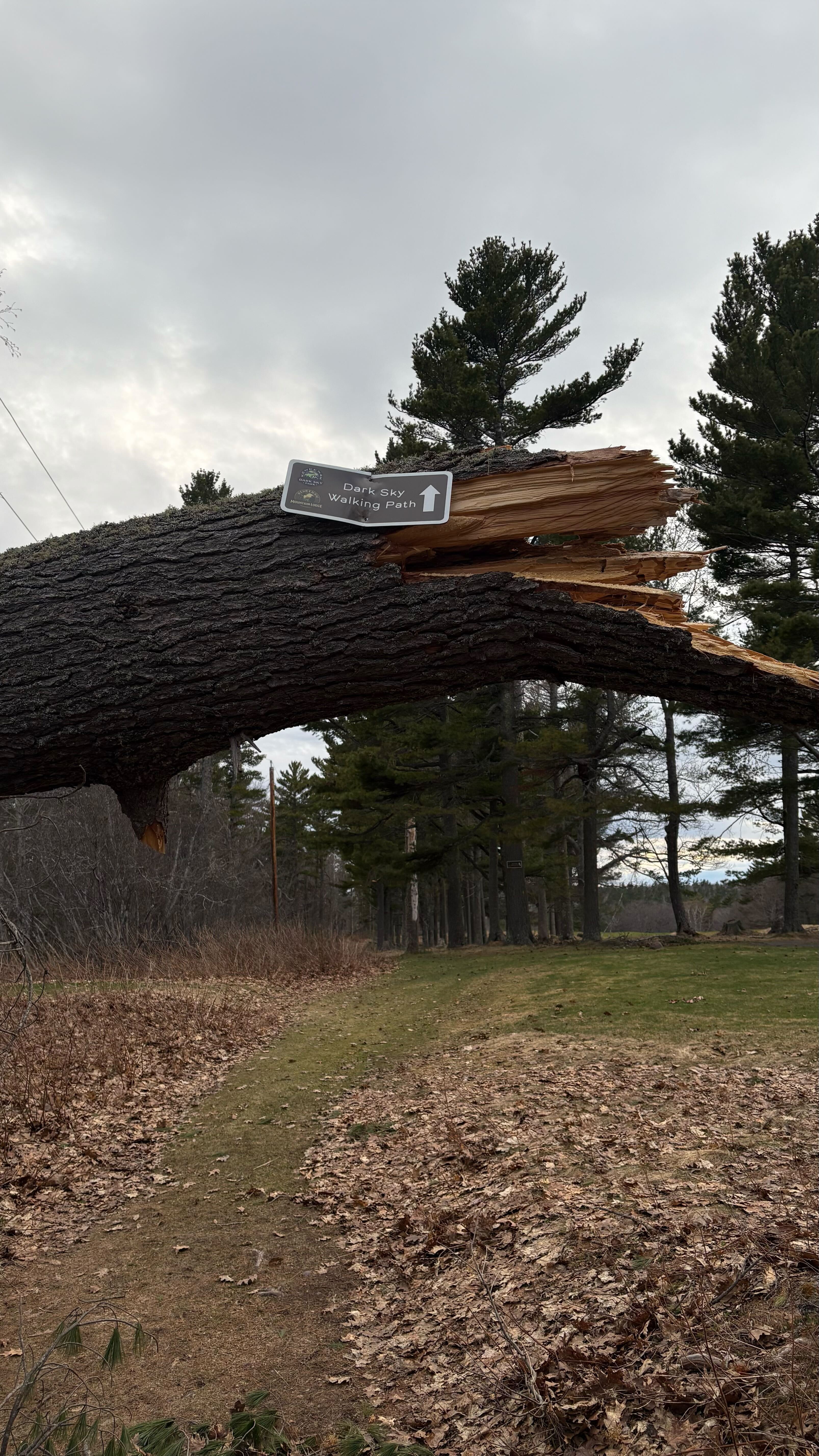
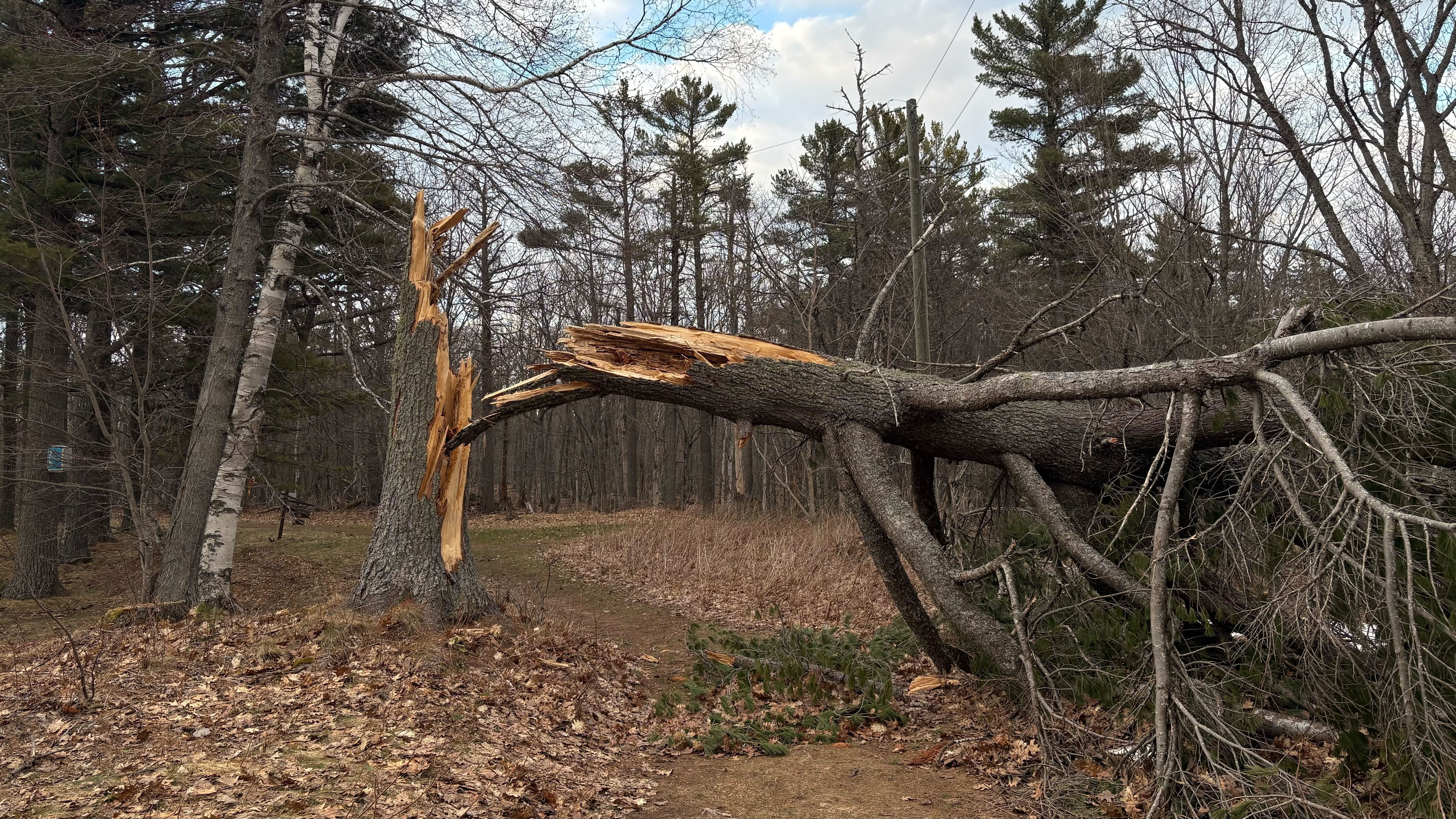
Golf Course Road is a loop that leaves US-41 at the Lodge’s main entrance, runs around the golf course and returns to US-41 to the south. It serves no other home or business, so every vehicle on it is either coming to the Lodge or working for the Lodge. It is paved from the main entrance to the east side of the Lodge building. From there it is gravel to just past the last maintenance barn, then a mix of gravel and grass down the east side of the course; maintenance staff use both stretches. The rest, back to US-41, is grass: overgrown, crossed by fallen trees and not in use.
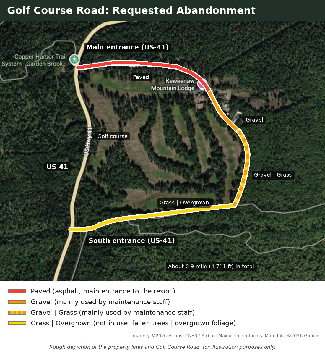
The 2017 survey of the Lodge property (dated July 14, 2017) shows Golf Course Road as a 66-foot right-of-way running through the Lodge’s land. The paved section follows the line between the 12.68-acre parcel and the 165.27-acre parcel. The rest of the loop lies inside the 165.27-acre parcel, except a very short stretch at the southwest end, next to US-41, that crosses land owned by The Nature Conservancy. The road’s centerline is 4,711 feet (about 0.9 mile) long, and the 66-foot right-of-way covers about 7.1 acres. Today the Lodge’s owners, Keweenaw Resort, LLC and KR Property I, LLC, hold about 600 acres around the road: the original 177 acres bought in 2018, about 380 acres bought from Keweenaw County in 2022, and 40 acres bought from AT&T in 2025.
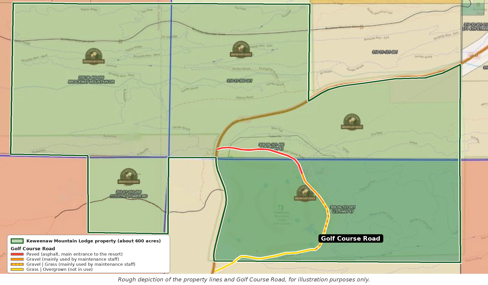
The Keweenaw Mountain Lodge was established in 1934 as a public works project. It sits on about 600 acres with 24 WPA-era log cabins, a 9-hole historic golf course and about 15 miles of trails. The Nature Conservancy owns roughly 32,000 acres around the property, and the Michigan Nature Association owns land along part of its northern border.
The Lodge has changed a great deal since the current owners bought it at auction in 2018, after it had been put up for sale and was at risk of closing. Today it is a Certified B Corp, an Audubon International green lodging establishment, a Certified Audubon Cooperative Sanctuary golf course (August 2026) and the headquarters of the Keweenaw Dark Sky Park.
Why we are doing this
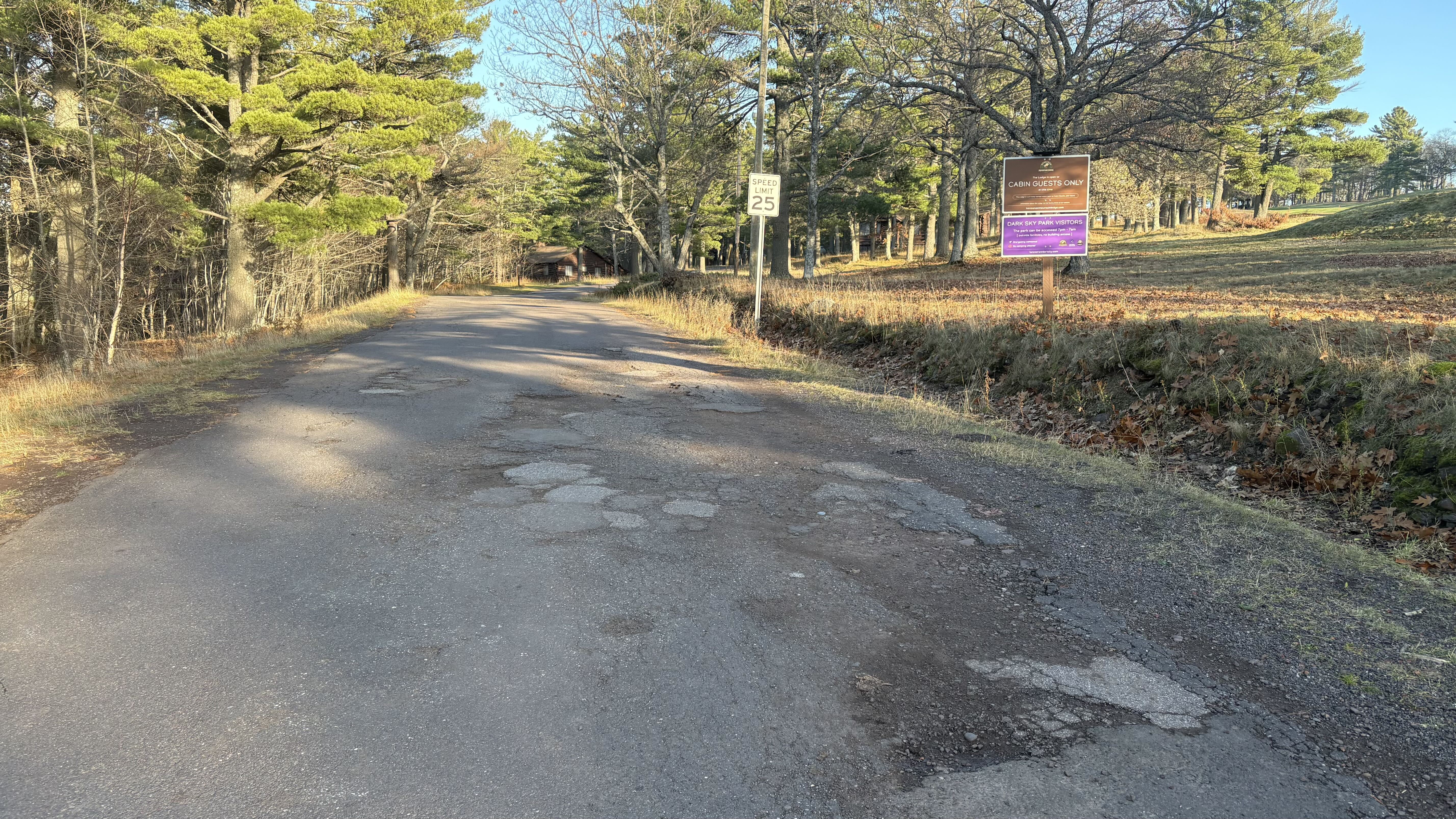
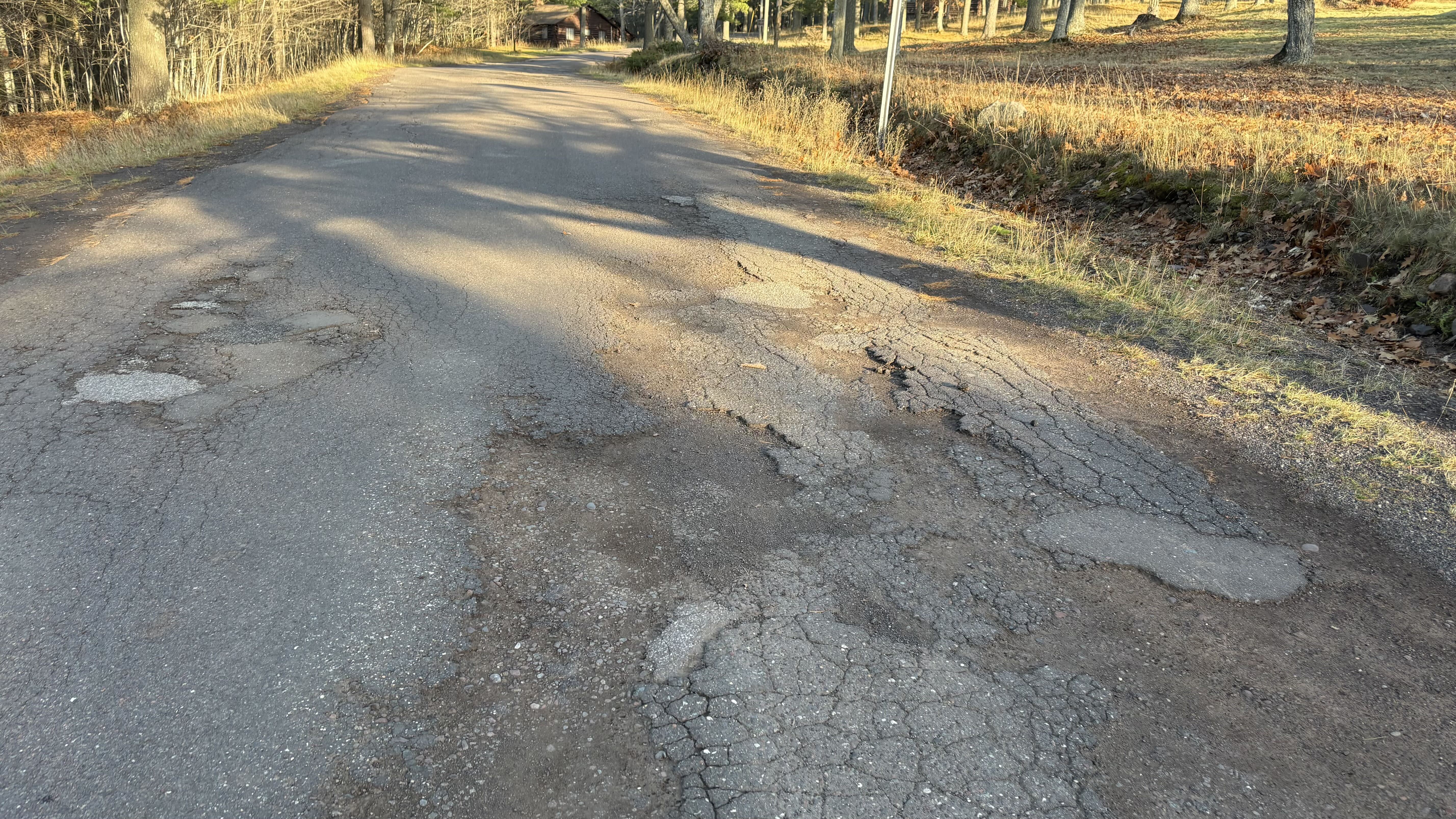
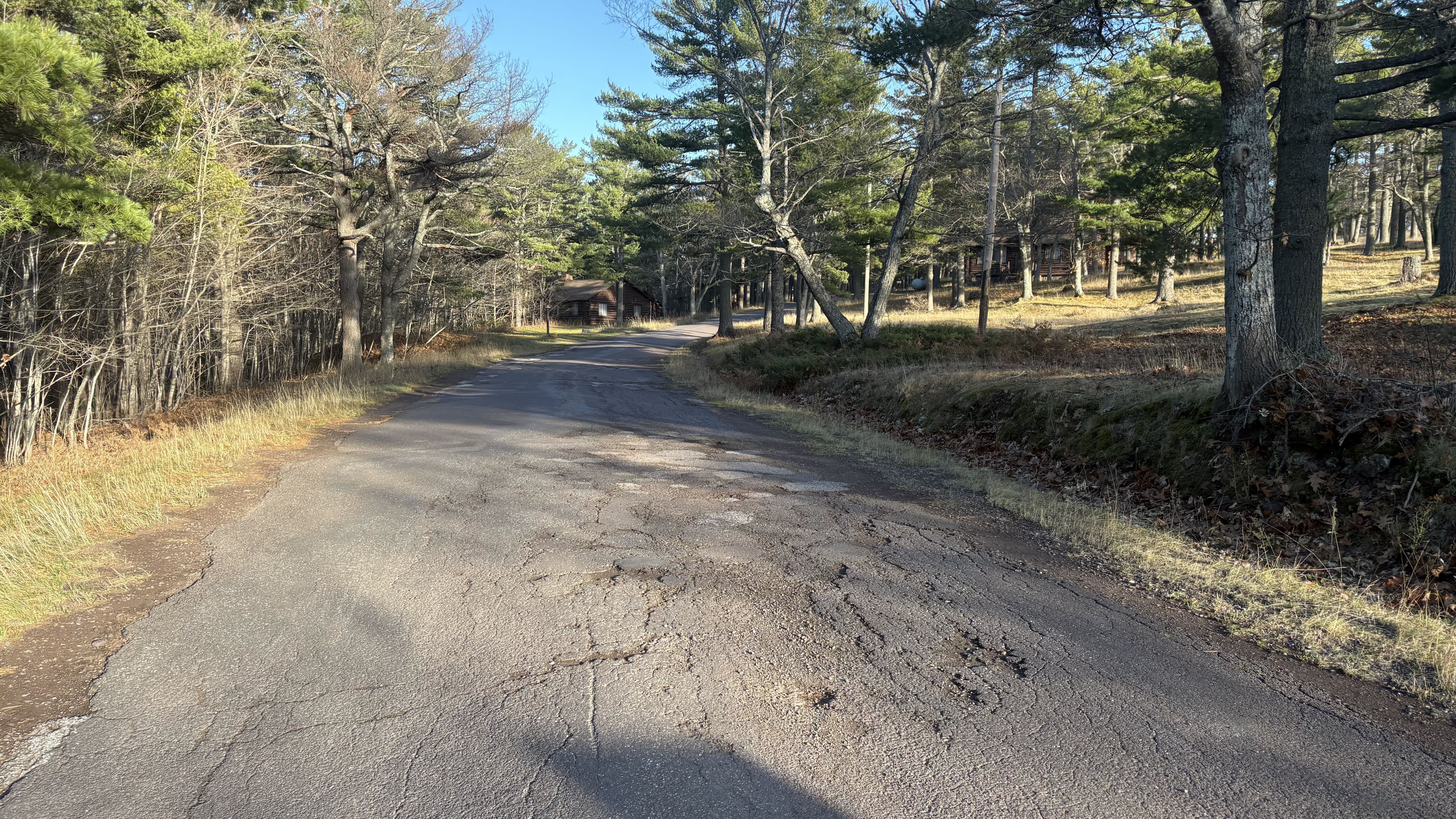
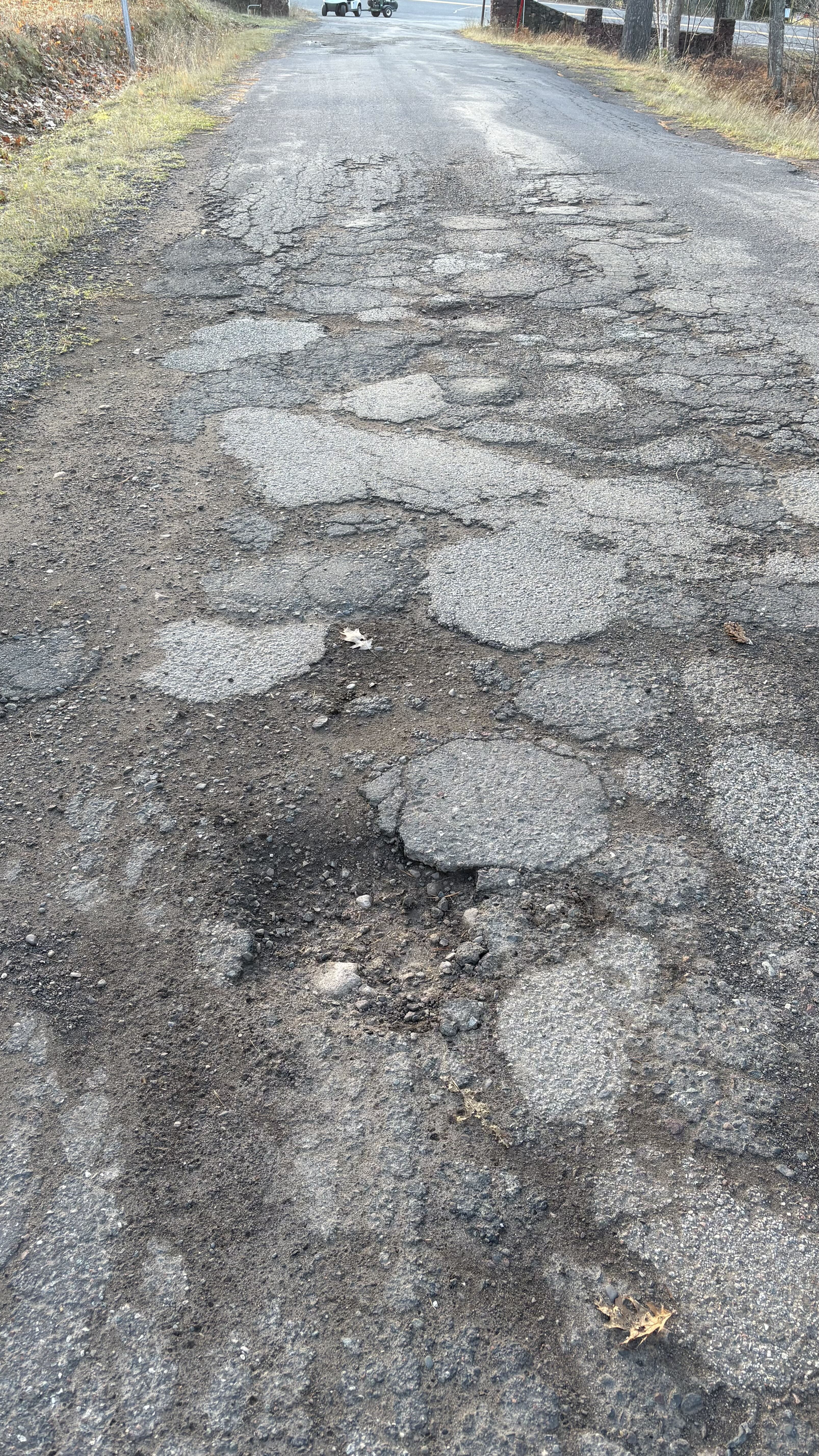
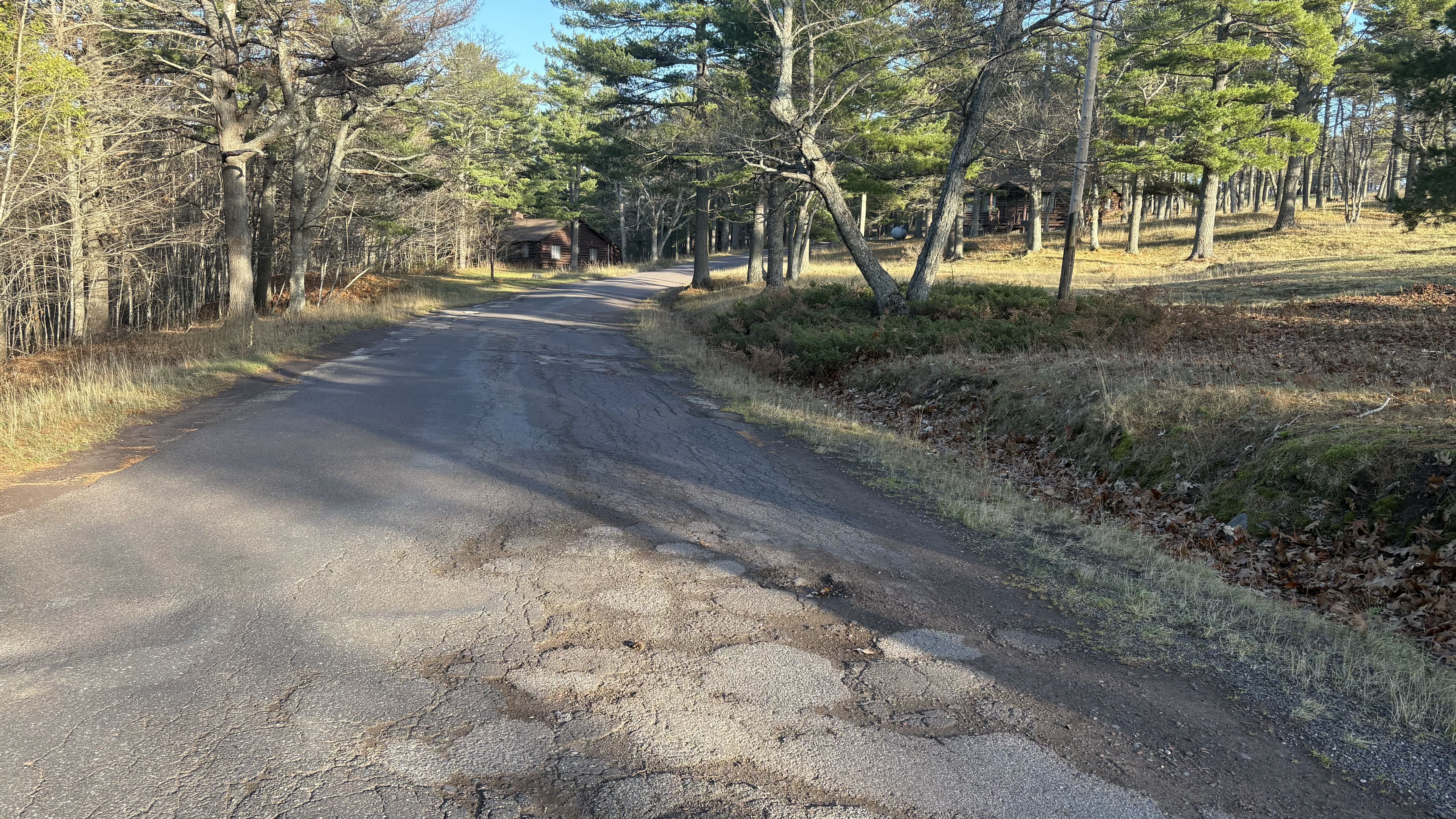
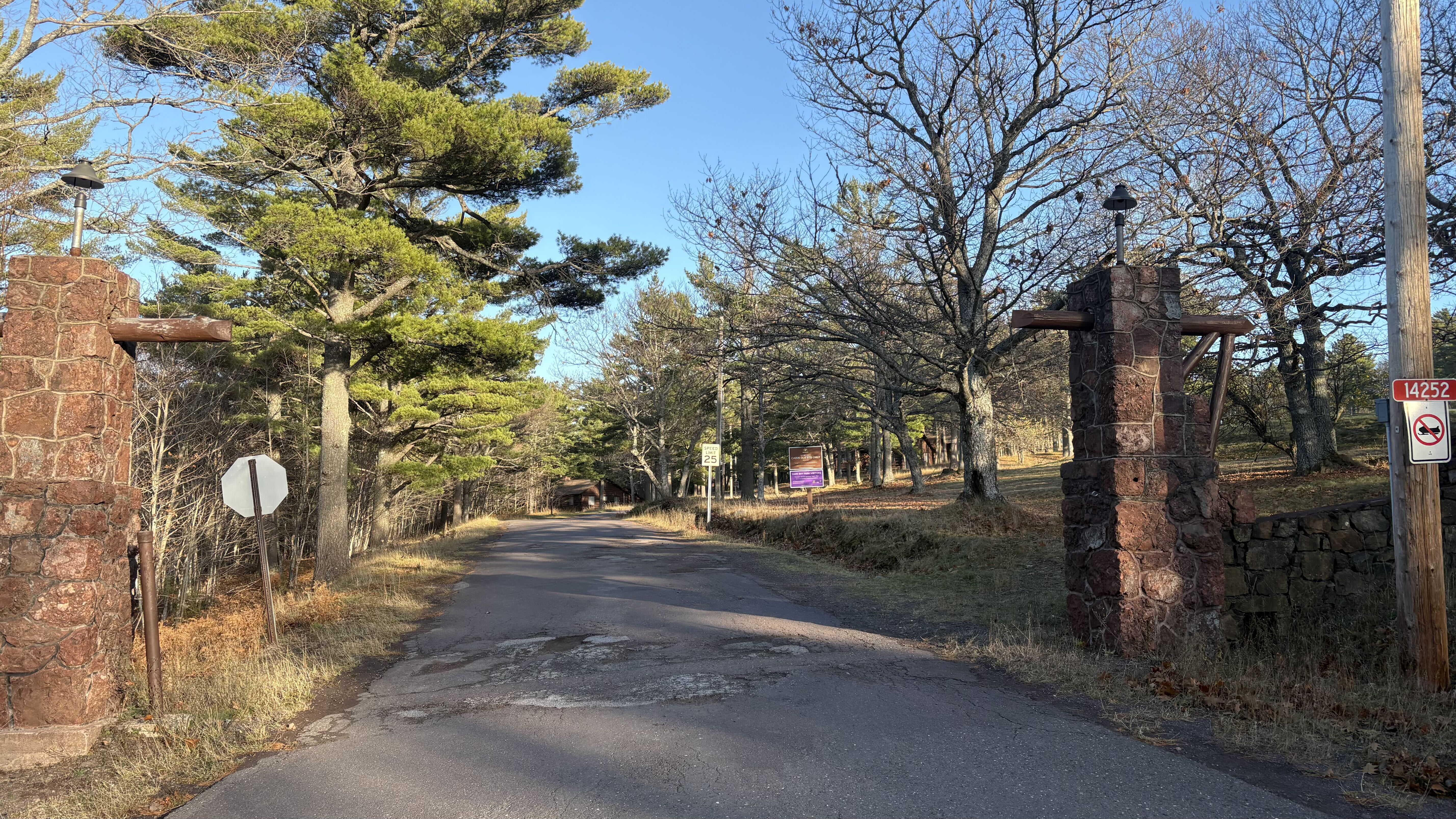
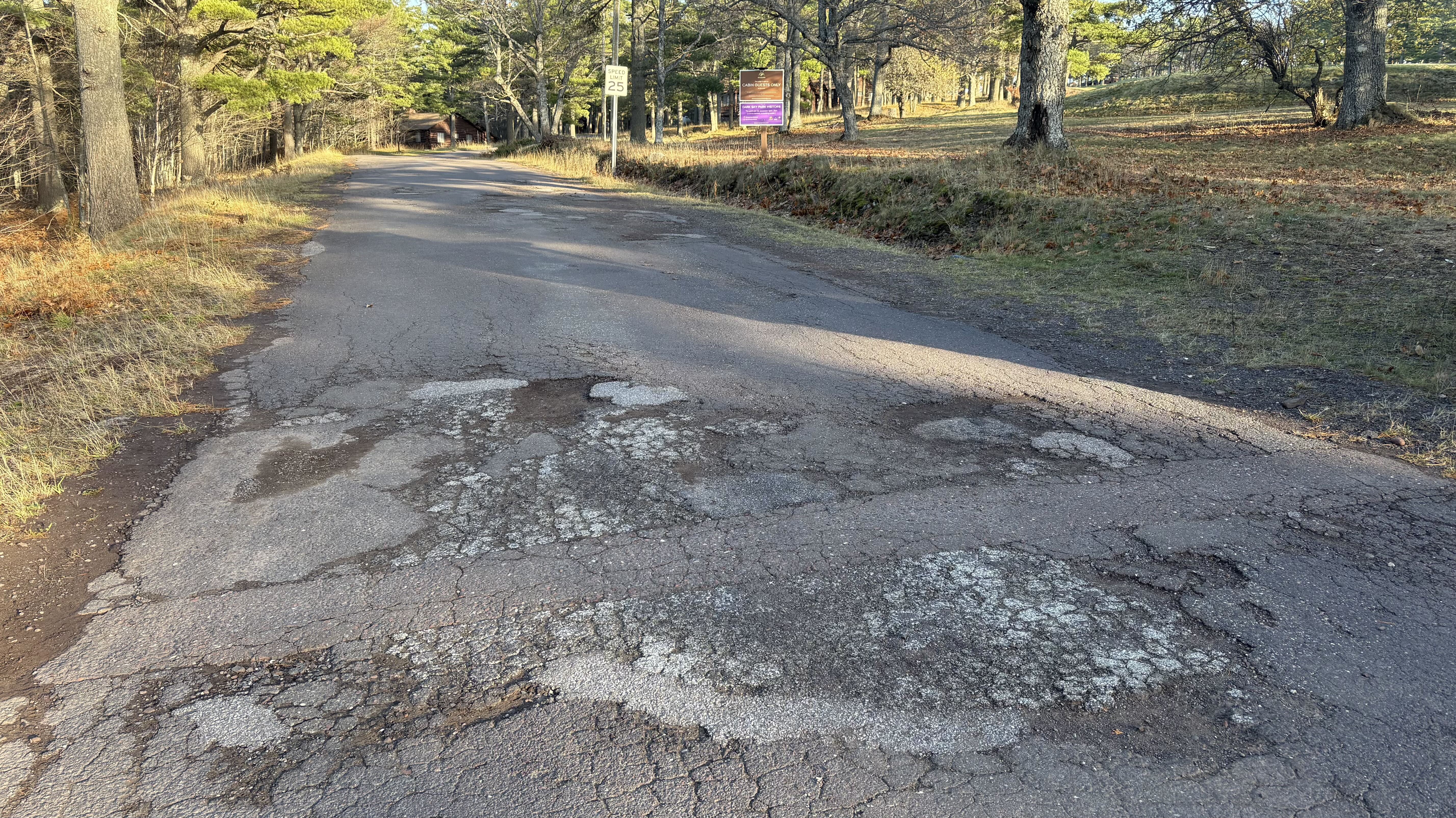
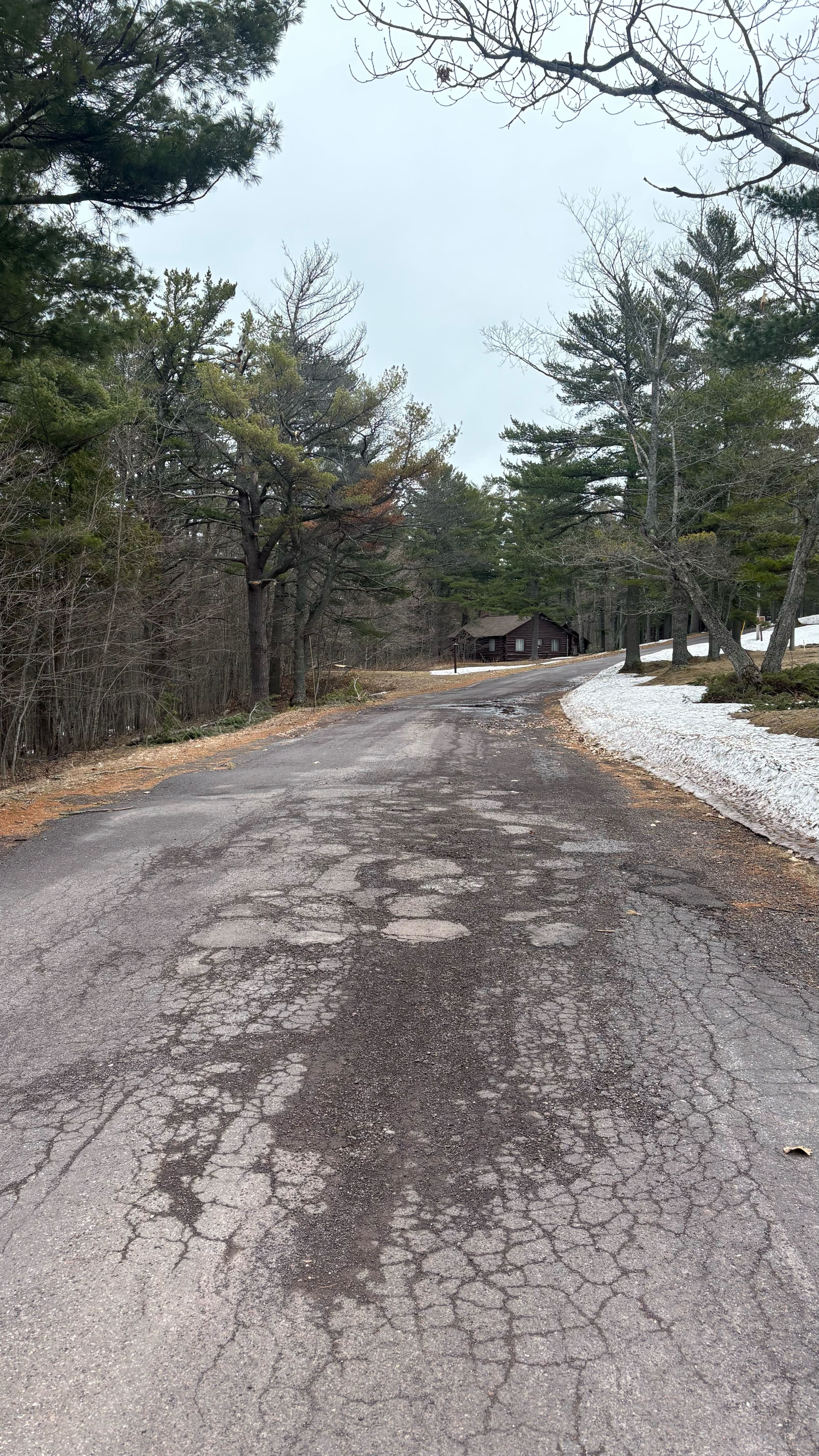
The road looks like ours, but it is not ours to fix. Golf Course Road has worn down badly over the years. Because it only leads to the Lodge, guests assume we own it. A rough road gives the wrong first impression of a property we work hard to care for. Owning the road will let us repair it and keep it in good shape.
It saves the county money. Right now public dollars pay to repair and plow a road that serves one business. Once the road is private, the Lodge will pay for all upkeep and winter plowing. The county can then spend that money on roads that serve everyone.
It brings people closer to nature. Since 2024 the Lodge has been open to cabin guests only, which means fewer cars, less noise and less disturbance to wildlife. As the headquarters of the Keweenaw Dark Sky Park, we also want fewer headlights at night. A private road lets us manage traffic the same way and keep the grounds quiet for deer, birds and stargazers.
It lets us care for the whole corridor. Once the road is part of the grounds, we can landscape it and its edges with native plants, add better drainage and put up signs that fit the Lodge’s 1930s history. This continues our work to turn the parking lot around the Lodge building into a natural area.
It matches how the road is already used. Our housekeeping and maintenance teams use Golf Course Road every day to move between the cabins, the golf course and the Lodge building. Guests use it to reach their cabins.
It makes the grounds safer. Guests walk the road between their cabins, the golf course and the Lodge, often at night with red flashlights, and staff drive it with maintenance equipment. Managing who drives the road, and how fast, makes it safer for the people who actually use it.
What will not change
- Emergency vehicles will always have access.
- Existing utility lines and easements will stay in place.
- Cabin guests will still drive to their cabins just as they do today.
- No one loses access. Both ends of the road meet US-41, which already carries all through traffic, and no other home or business uses the road.
Next steps
Once the application is finished, we will submit it to the Keweenaw County Road Commission, which will review it and hold a public hearing.
A very short stretch of the road at the southwest end, where it meets US-41, crosses land owned by The Nature Conservancy. The Nature Conservancy will also need to sign off on this abandonment request, and we are already in discussions with them about it.
Legal description of Golf Course Road:
LEGAL DESCRIPTION OF GOLF COURSE ROAD: A parcel of land being a part of the South Half (S ½) of Section 31, T59N, R28W, Grant Township, Keweenaw County, Michigan AND the North Half of Section 6,T58N, R28W, Grant Township, Houghton Keweenaw County, Michigan described as lying 33 feet either side of the following described centerline described as: Commencing at the Southwest corner of said Section 31 S. 89° 35′ 55″ E. 1029.06 feet along the South line of said Section 31 to a point on the Southeasterly right of way line of Highway U.S. – 41 said point being a point on a curve to the Right (Radius = 557.21 feet; Delta = 15° 12’ 03”; Chord Bears N. 06° 13’ 46” E. 147.40 feet); thence along the said right of way line and the arc of said curve to the Right 147.83 feet to the point of beginning of this description; thence along the centerline of Golf Course Road the following thirty courses: N. 73° 01’ 18” E. 87.21 feet; thence N. 86° 08’ 17” E. 122.71 feet; thence S. 81° 23’ 28” E. 96.18 feet; thence S. 78° 32’ 14” E. 102.77 feet; thence S. 83° 29’ 40” E. 103.06 feet; thence N. 87° 33’ 24” E. 80.91 feet; thence N. 83° 36’ 43” E. 102.21 feet; thence N. 89° 55’ 11” E. 104.46 feet; thence S. 83° 42’ 39” E. 96.63 feet; thence S. 72° 52’ 28” E. 334.89 feet; thence S. 61° 07’ 17” E. 136.67 feet; thence S. 38° 47’ 53” E. 104.98 feet; thence S. 20° 38’ 29” E. 309.92 feet; thence S. 43° 40’ 02” E. 335.73 feet; thence S. 33° 13’ 58” E. 155.26 feet; thence S. 32° 06’ 25” E. 125.38 feet; thence S. 08° 29’ 21” E. 130.91 feet; thence S. 14° 54’ 24” W. 86.61 feet; thence S. 15° 25’ 42” W. 369.79 feet; thence S. 25° 16’ 18” W. 77.73 feet; thence S. 51° 45’ 29” W. 91.99 feet thence S. 88° 34’ 00” W. 89.45 feet; thence S. 77° 37’ 42” W. 246.52 feet; thence S. 86° 55’ 38” W. 176.49 feet; thence S. 76° 30’ 20” W. 174.88 feet; S. 79° 35’ 23” W. 264.42 feet; thence N. 86° 52’ 22” W. 63.86 feet; thence N. 80° 01’ 55” W. 205.90 feet; thence S. 87° 10’ 28” W. 72.01 feet; thence S. 77° 25’ 14” W. 261.09 feet to a point on the South line of the North Half of Section 6, T58N, R28W, said point being the point of ending of this description.
[ Link to Legal Description of Golf Course Road PDF ]
Pictures taken November 10, 2026
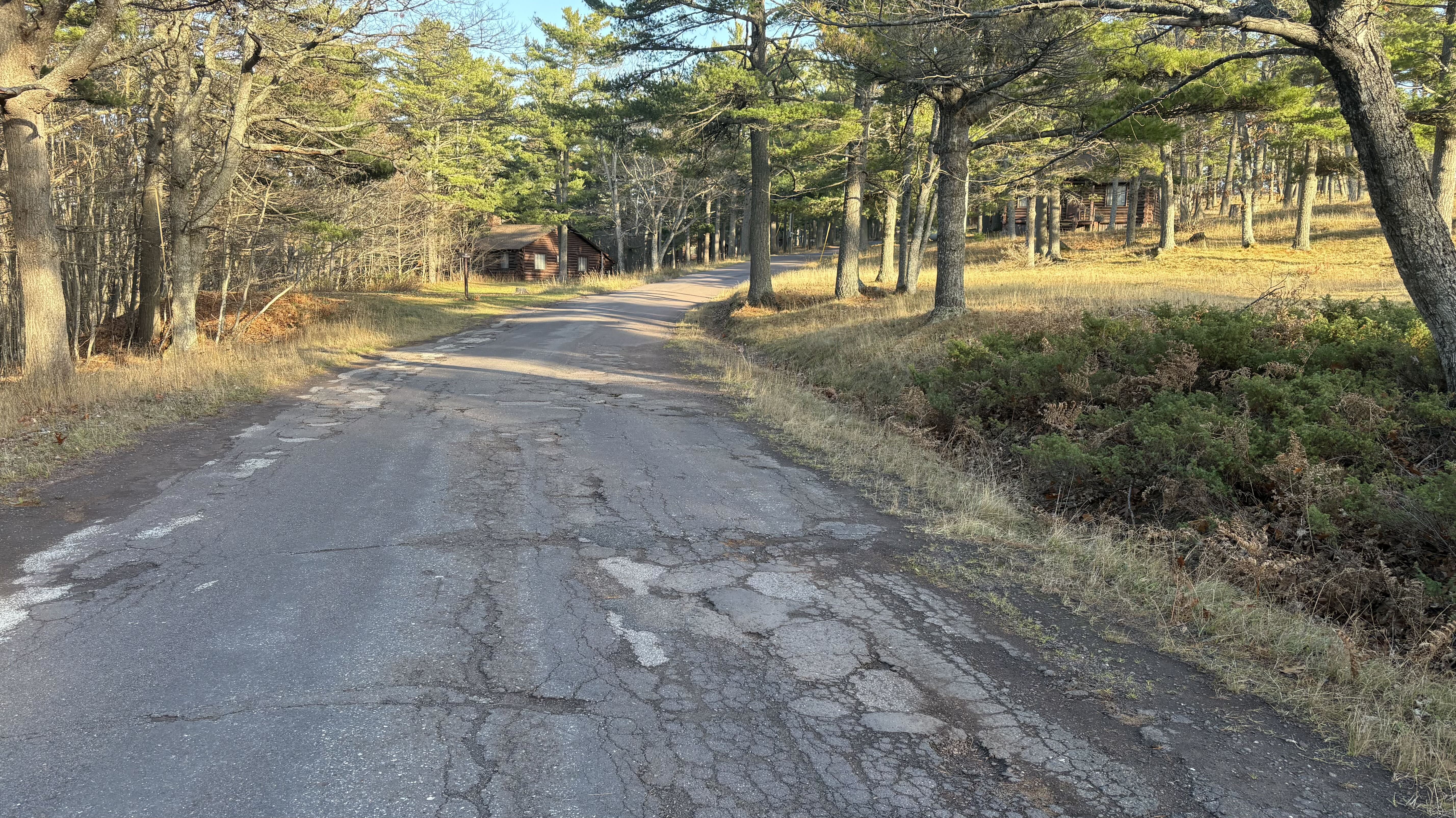
Pictures taken April 25, 2026
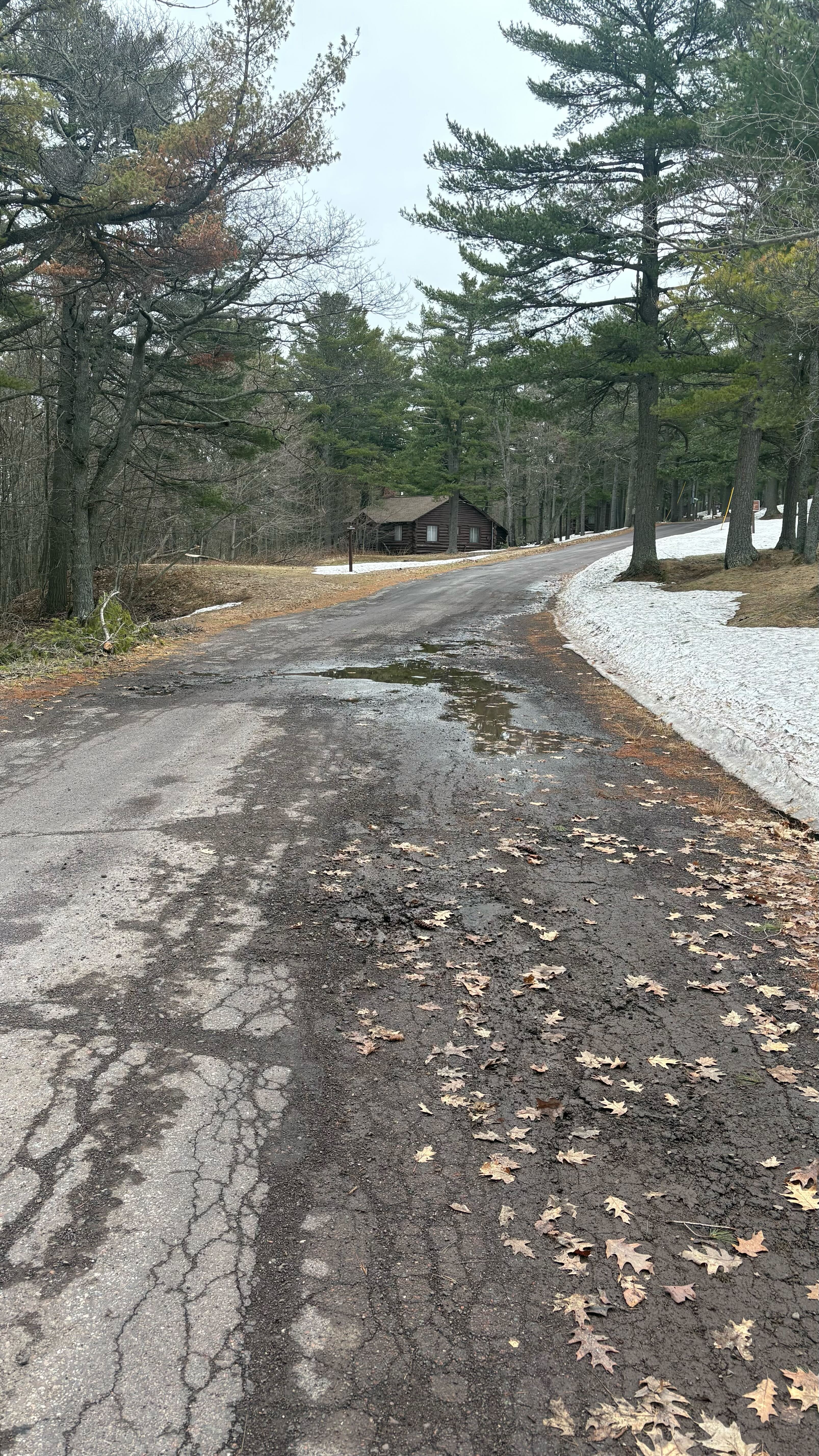
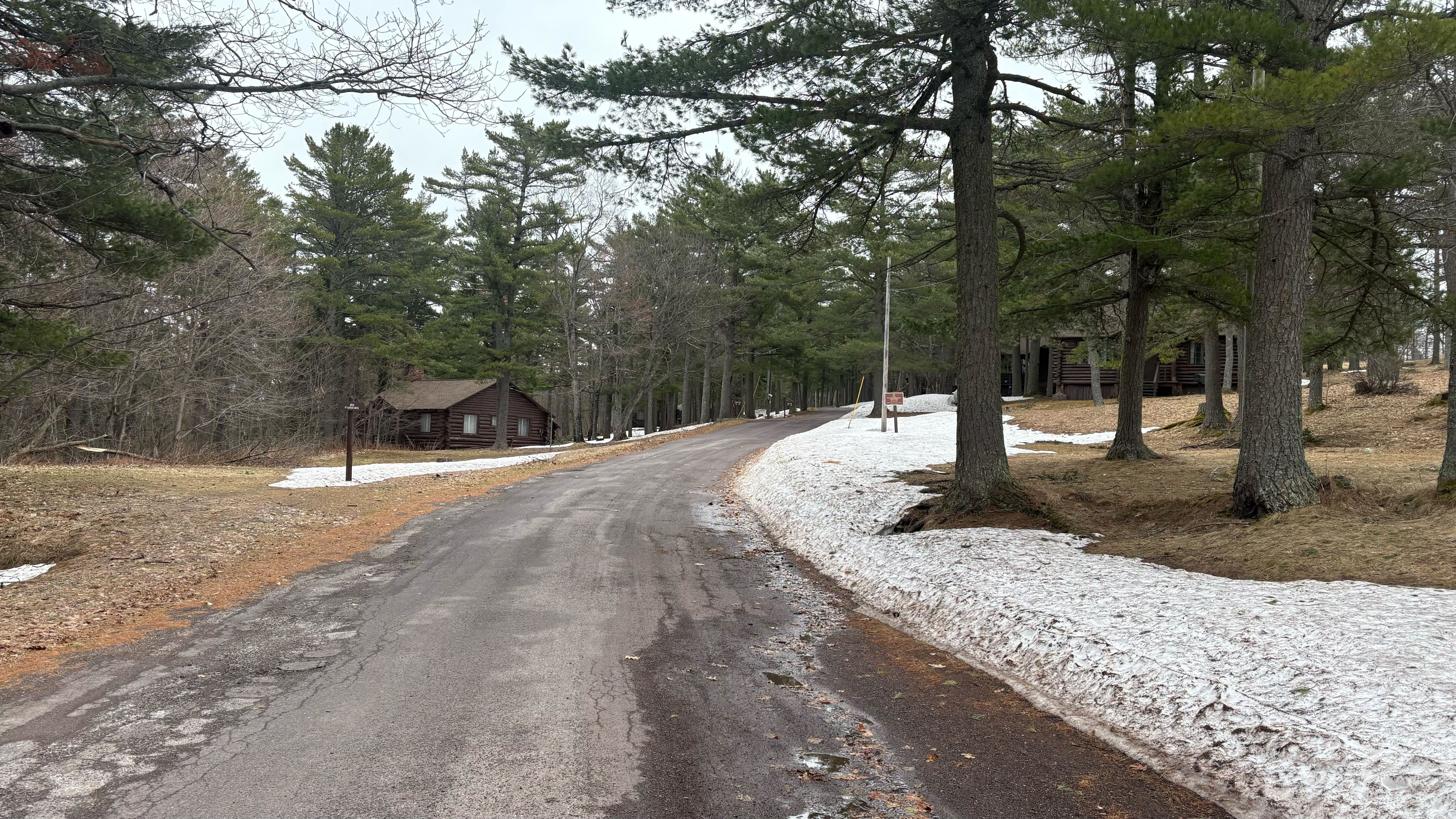
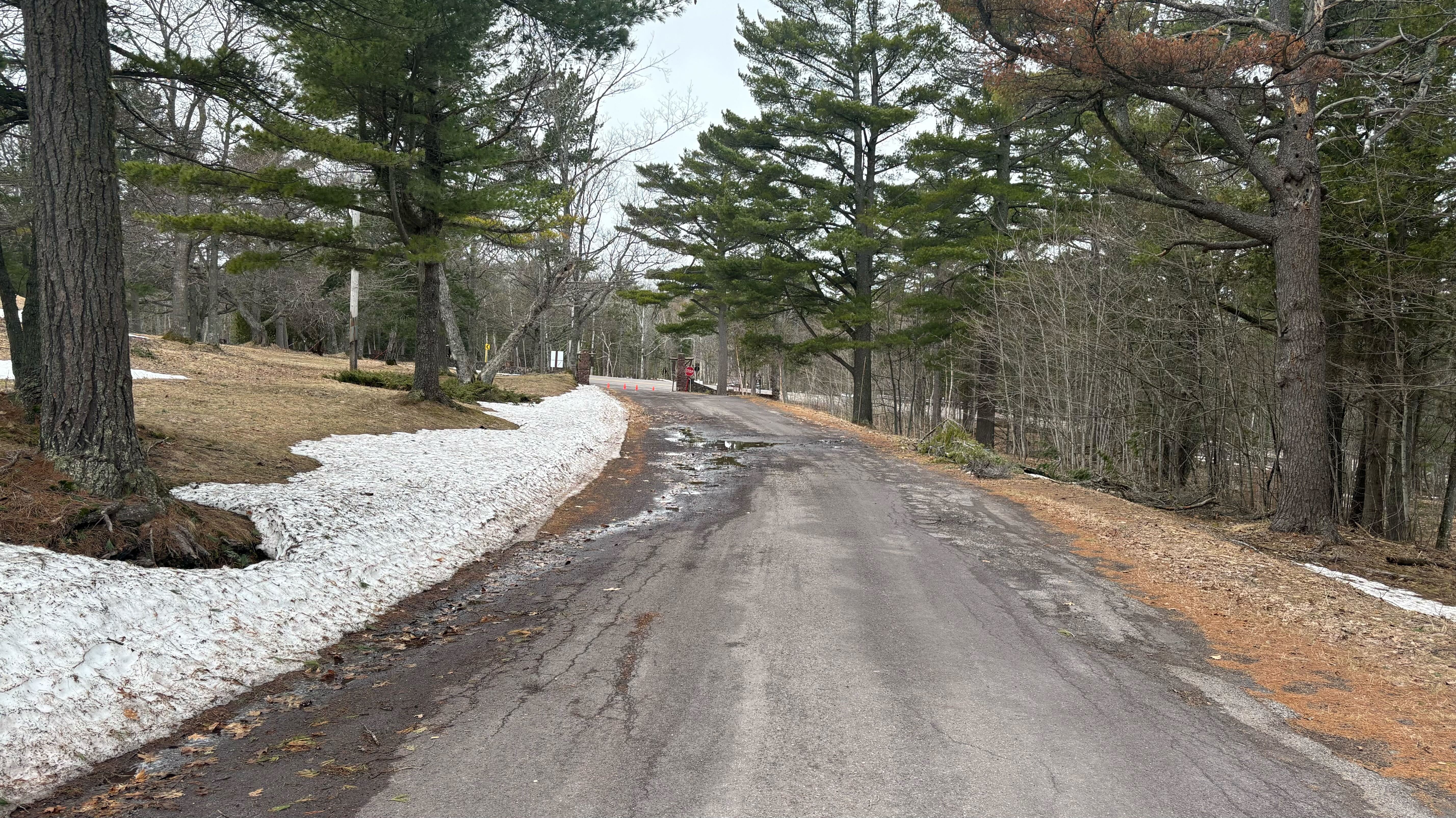
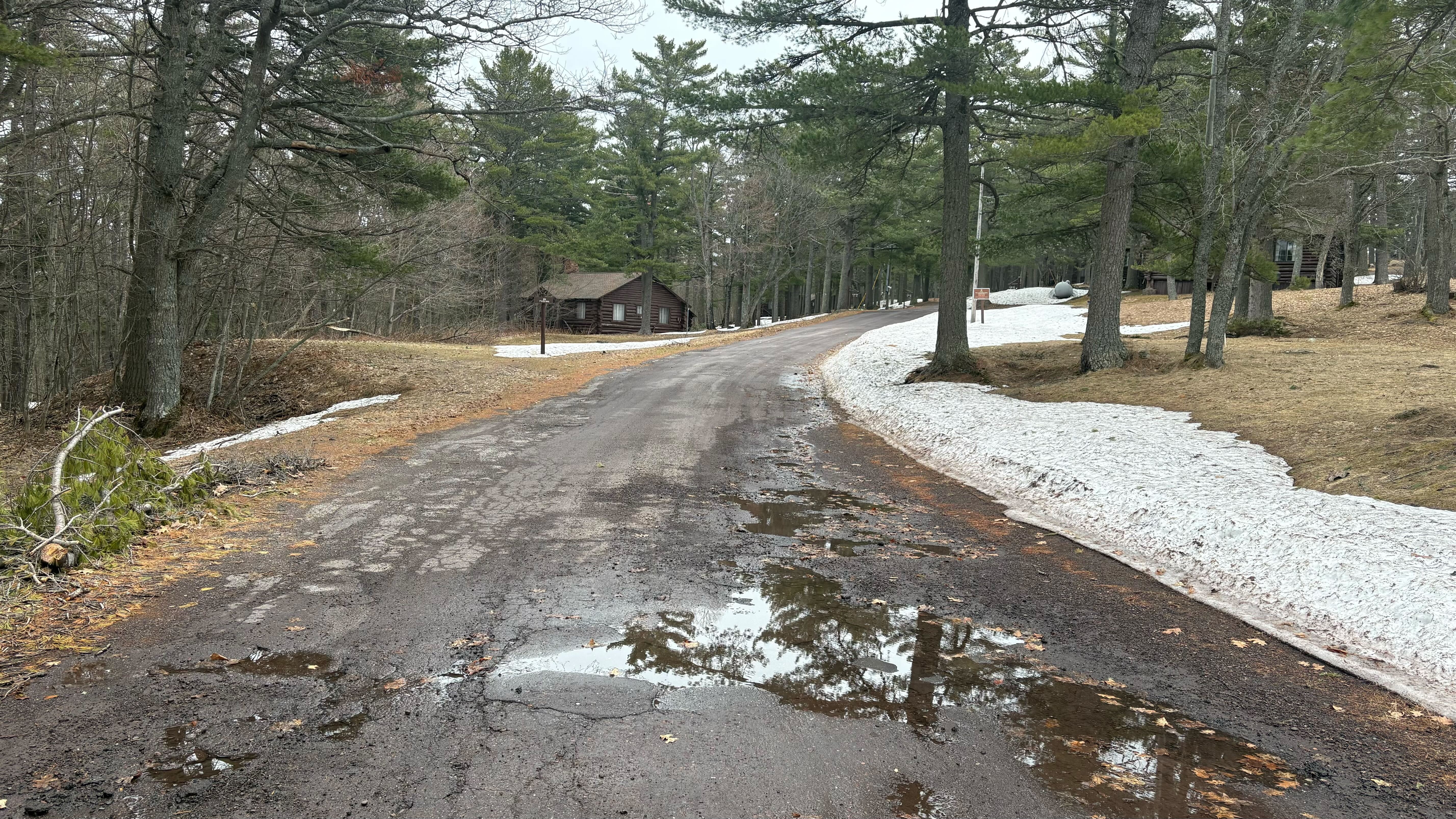
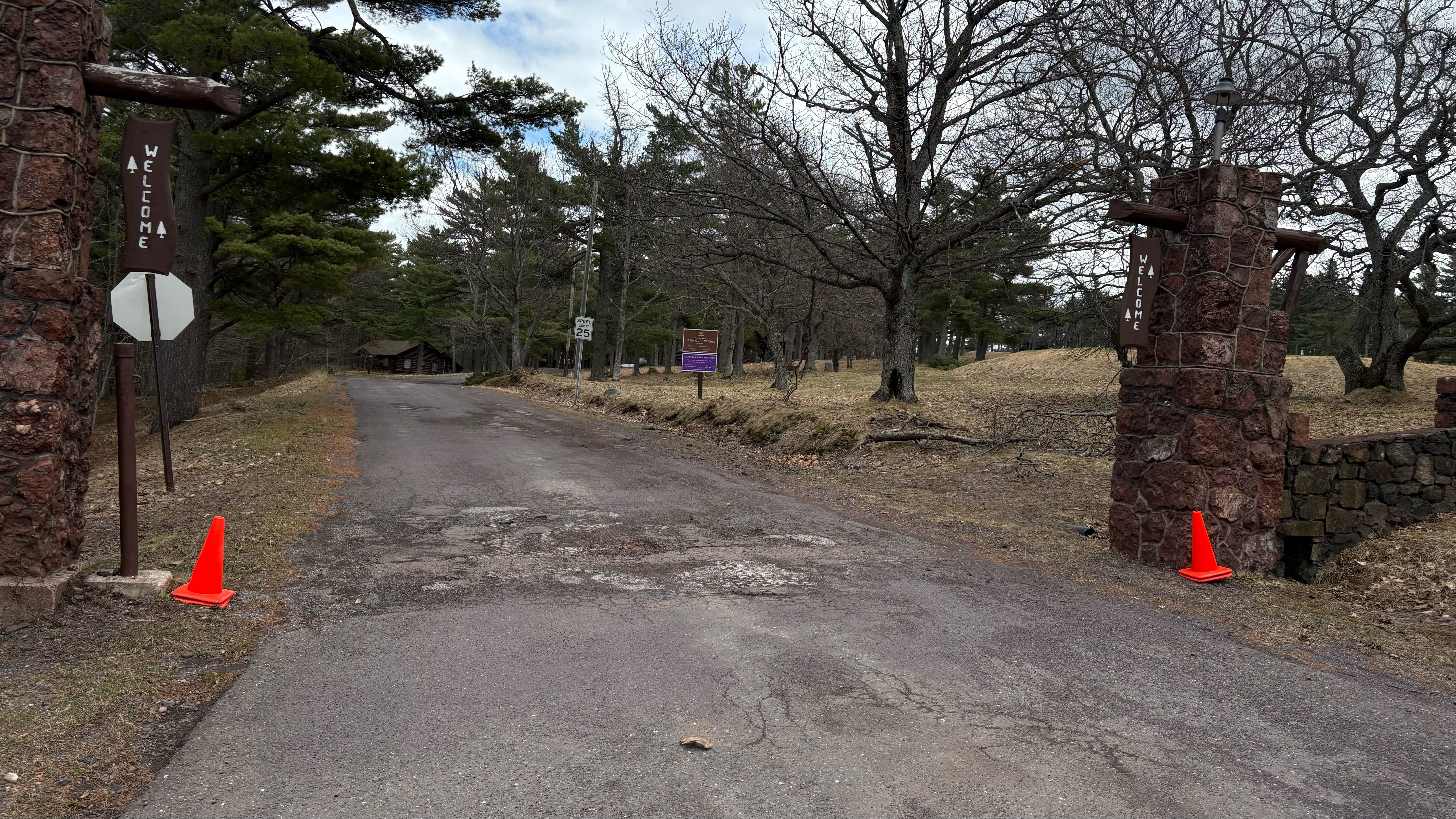
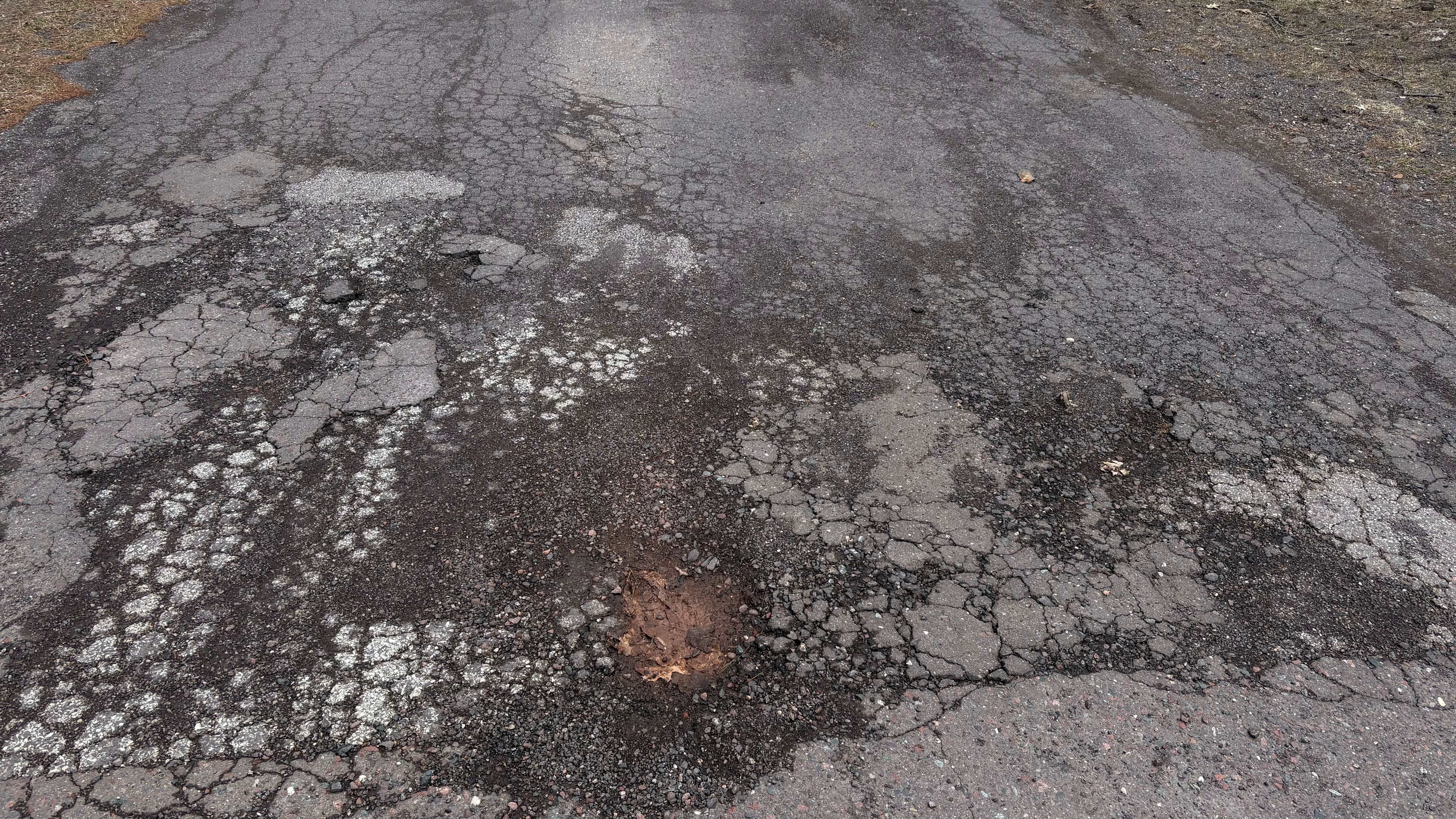
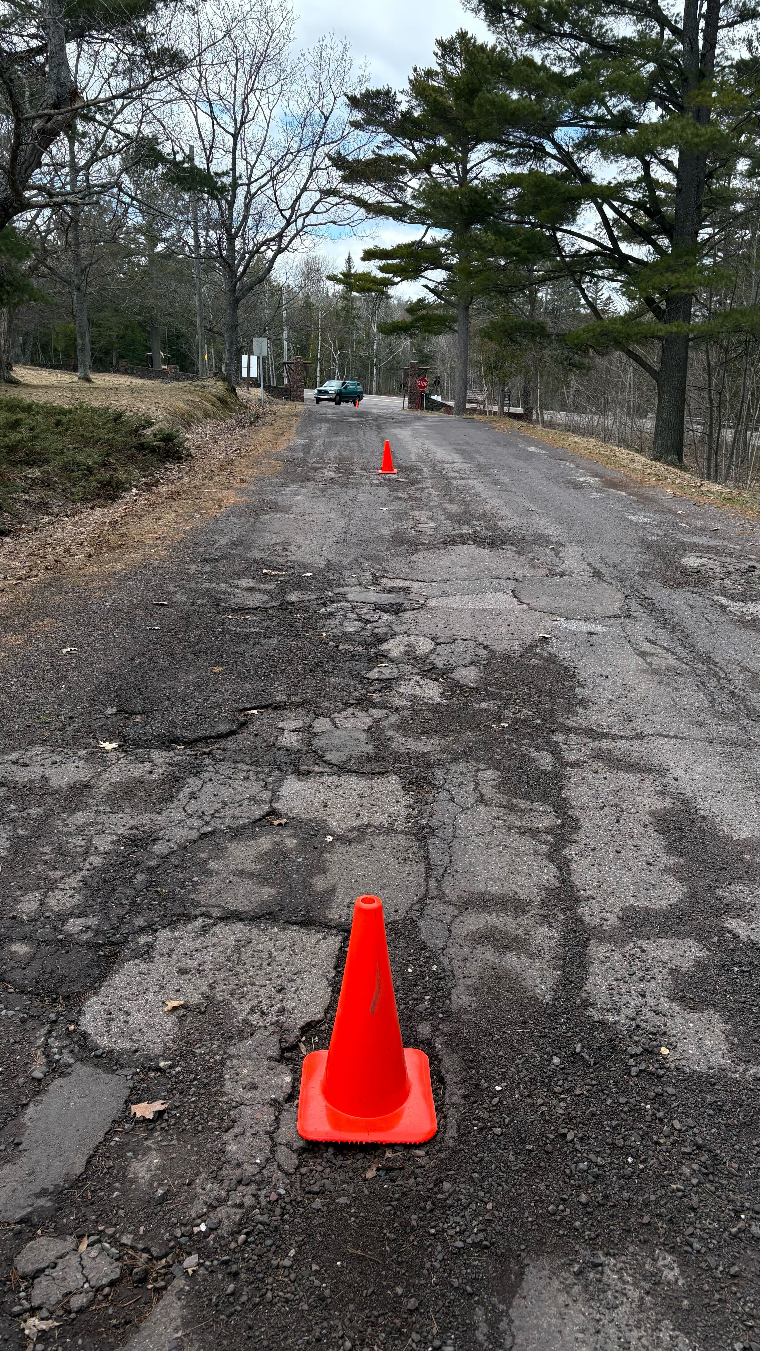
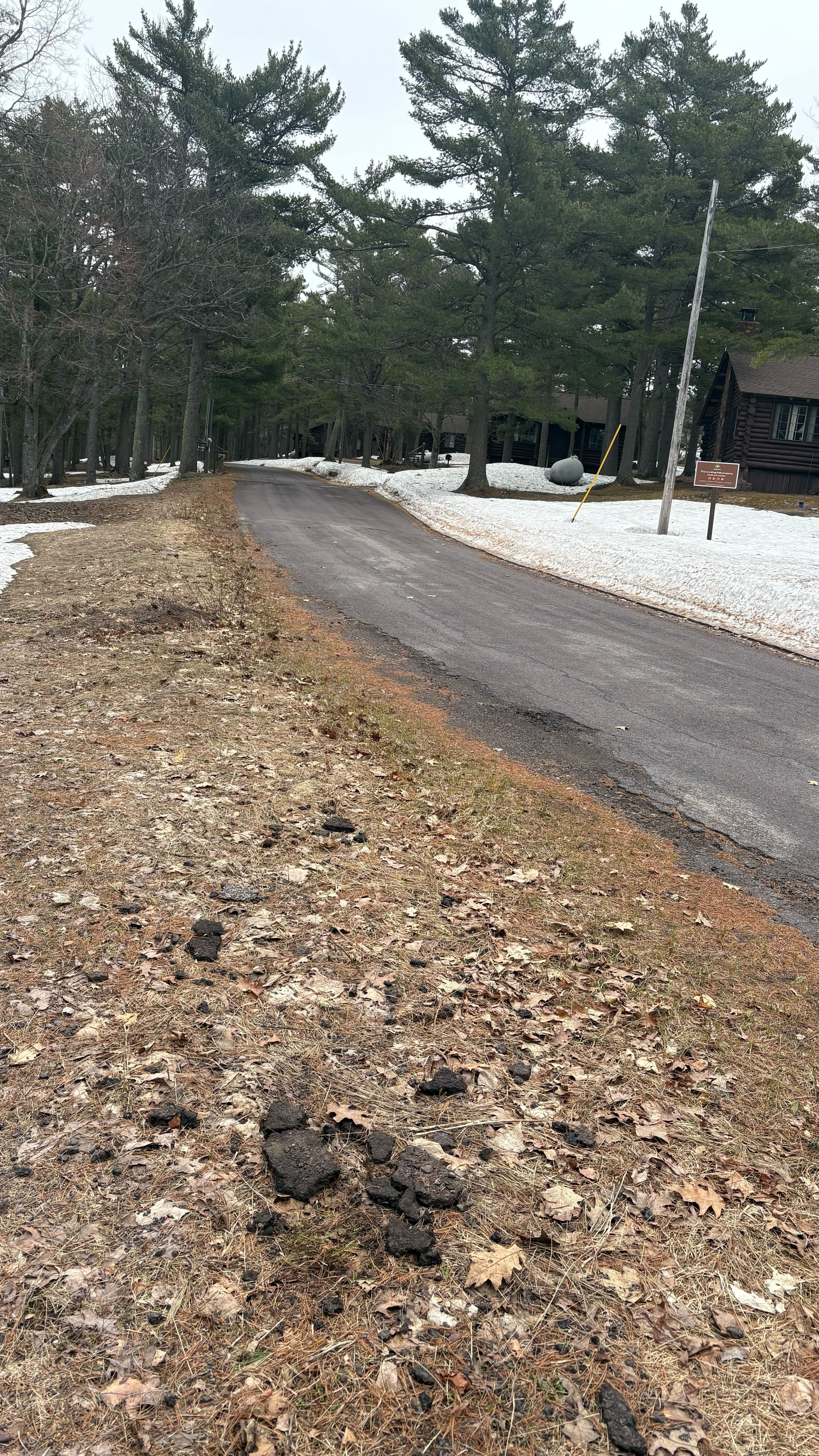
Pictures taken November 12, 2025